


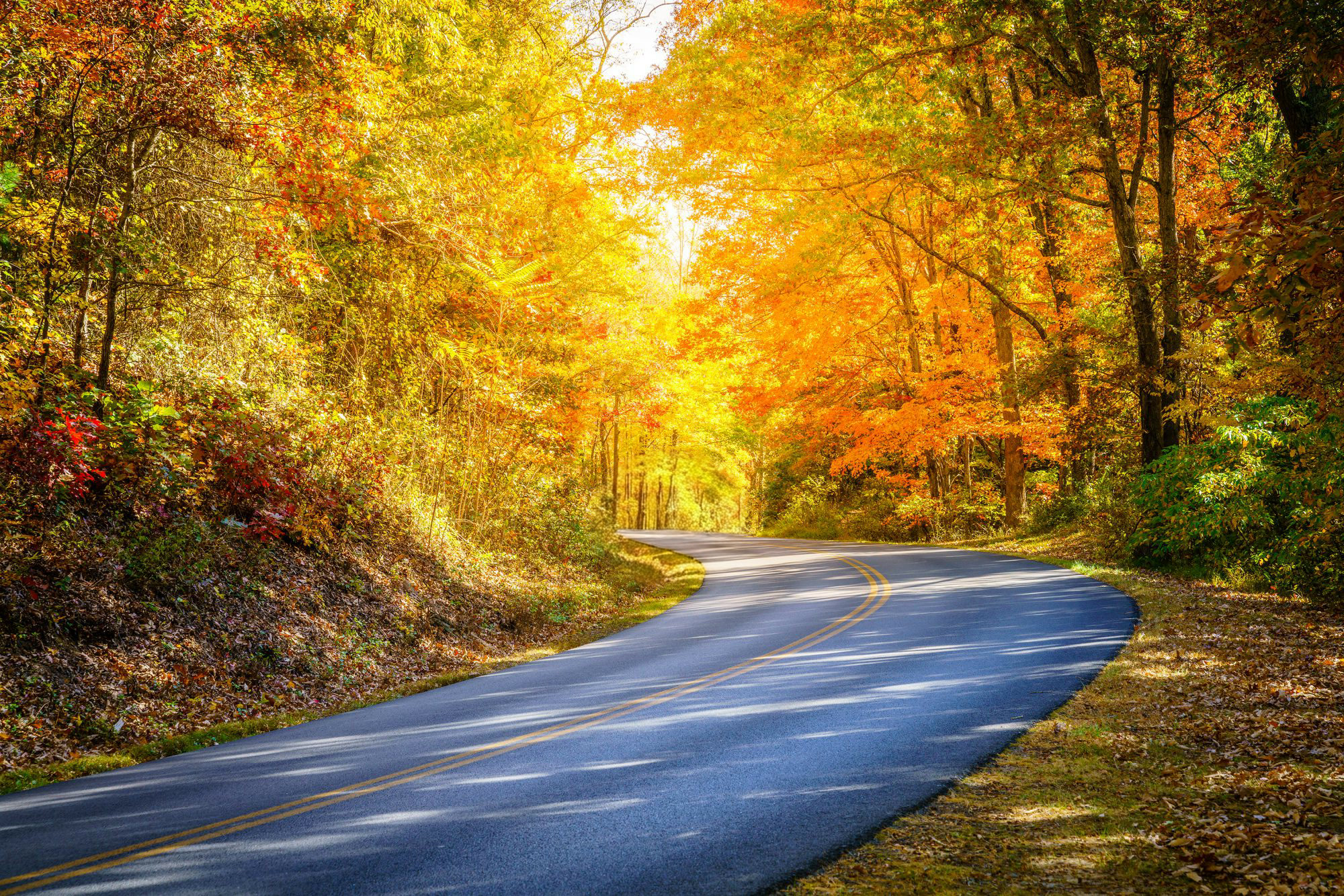
Blue Ridge Parkway Tours from Brevard, North Carolina
This is a three-hour guided tour along the Blue Ridge Parkway in a custom open-air Jeep, leaving from Brevard, North Carolina. It costs $99 for guests 13 and up, $59 for children 5 to 12. A local guide drives, so you watch the mountains instead of the road.
- Three hours, round tripRoughly 76 minutes of that is the drive up to the Parkway and back.
- Departs Brevard, not Asheville209 N. Caldwell Street, Brevard, NC 28712.
- $99 adults, $59 children 5–12Private and public departures are both offered.
- Open-air Jeep with a local guideEnclosed and heated configurations are available in cooler months.
- No fixed stop listRoutes and highlights are adjusted by season and by the day’s conditions.
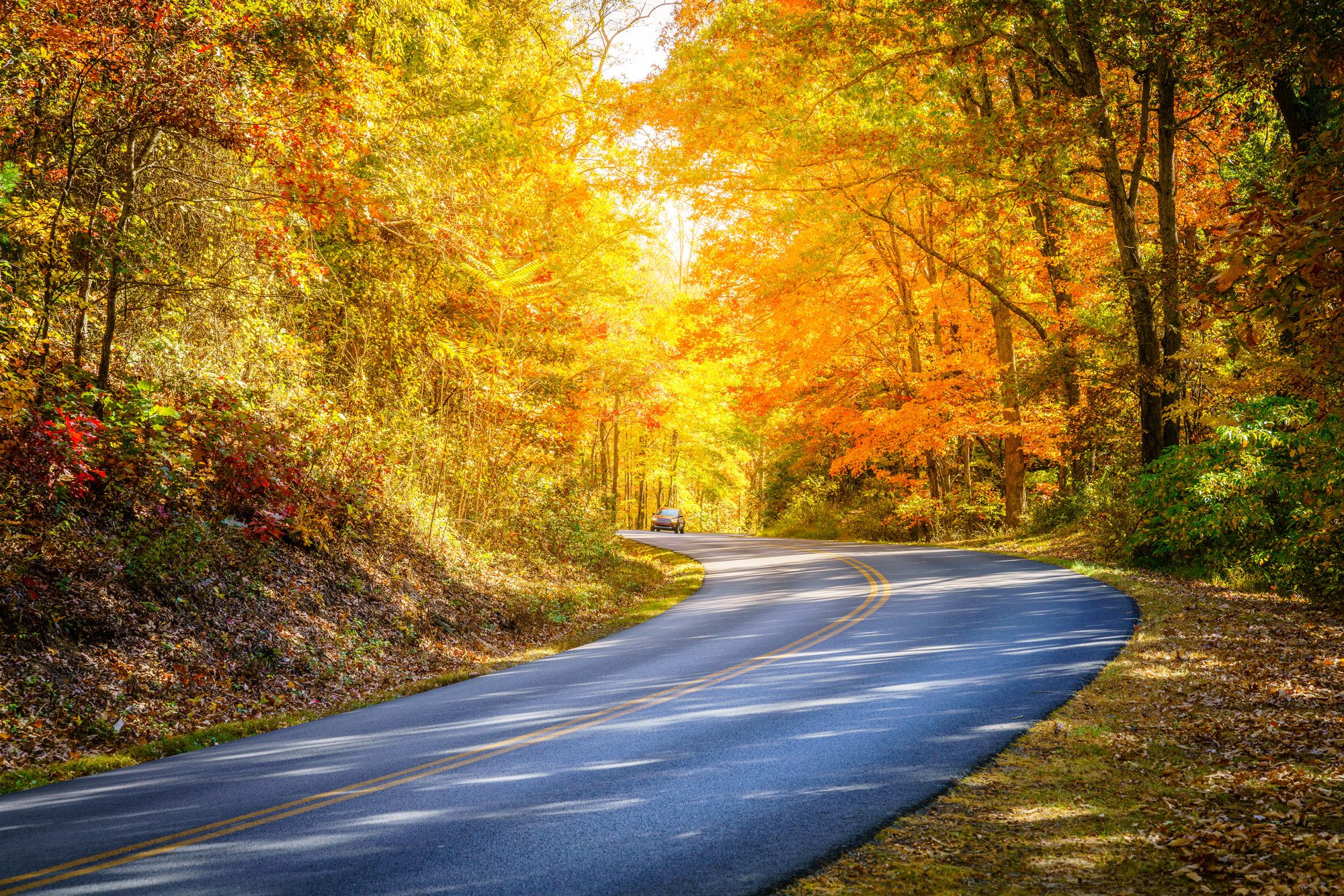
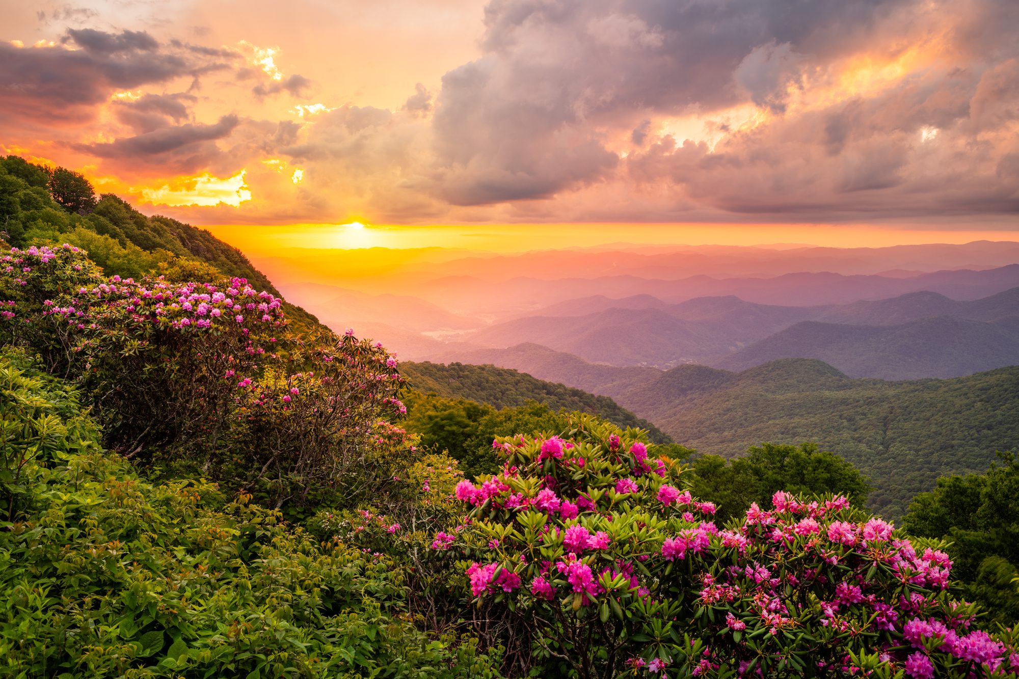
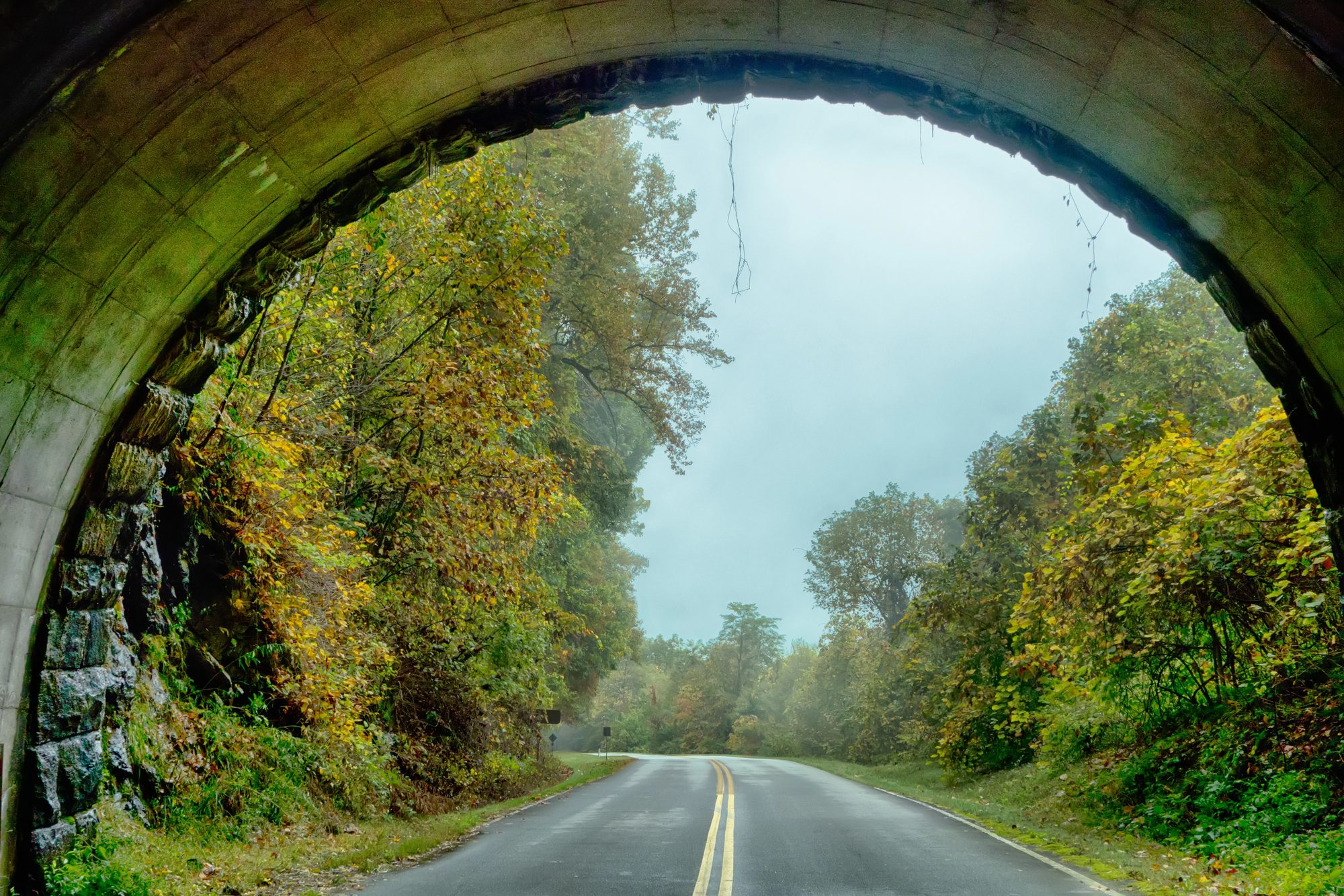
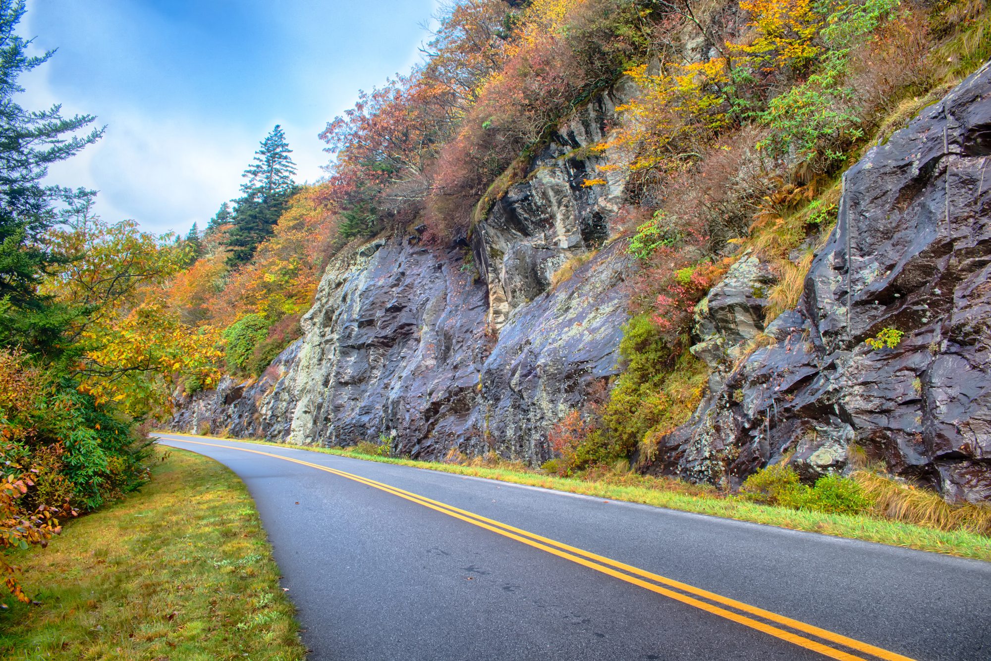
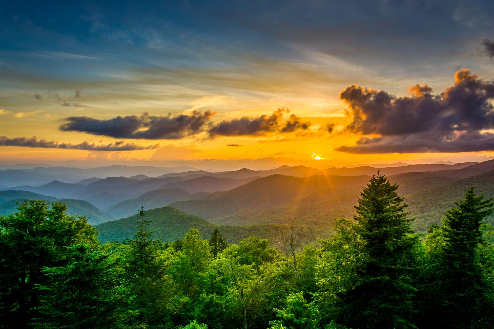
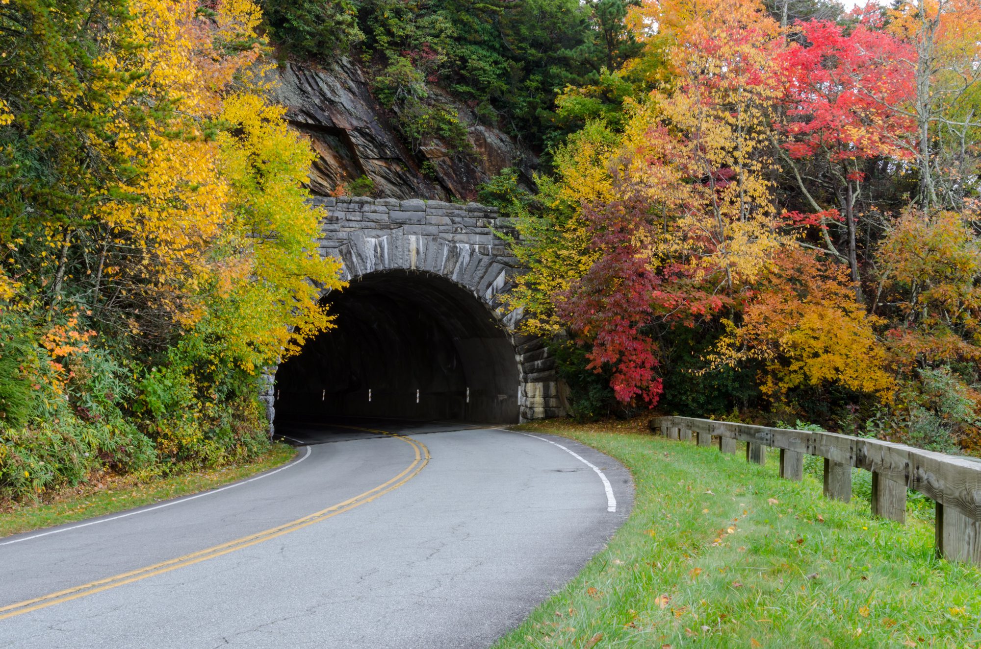
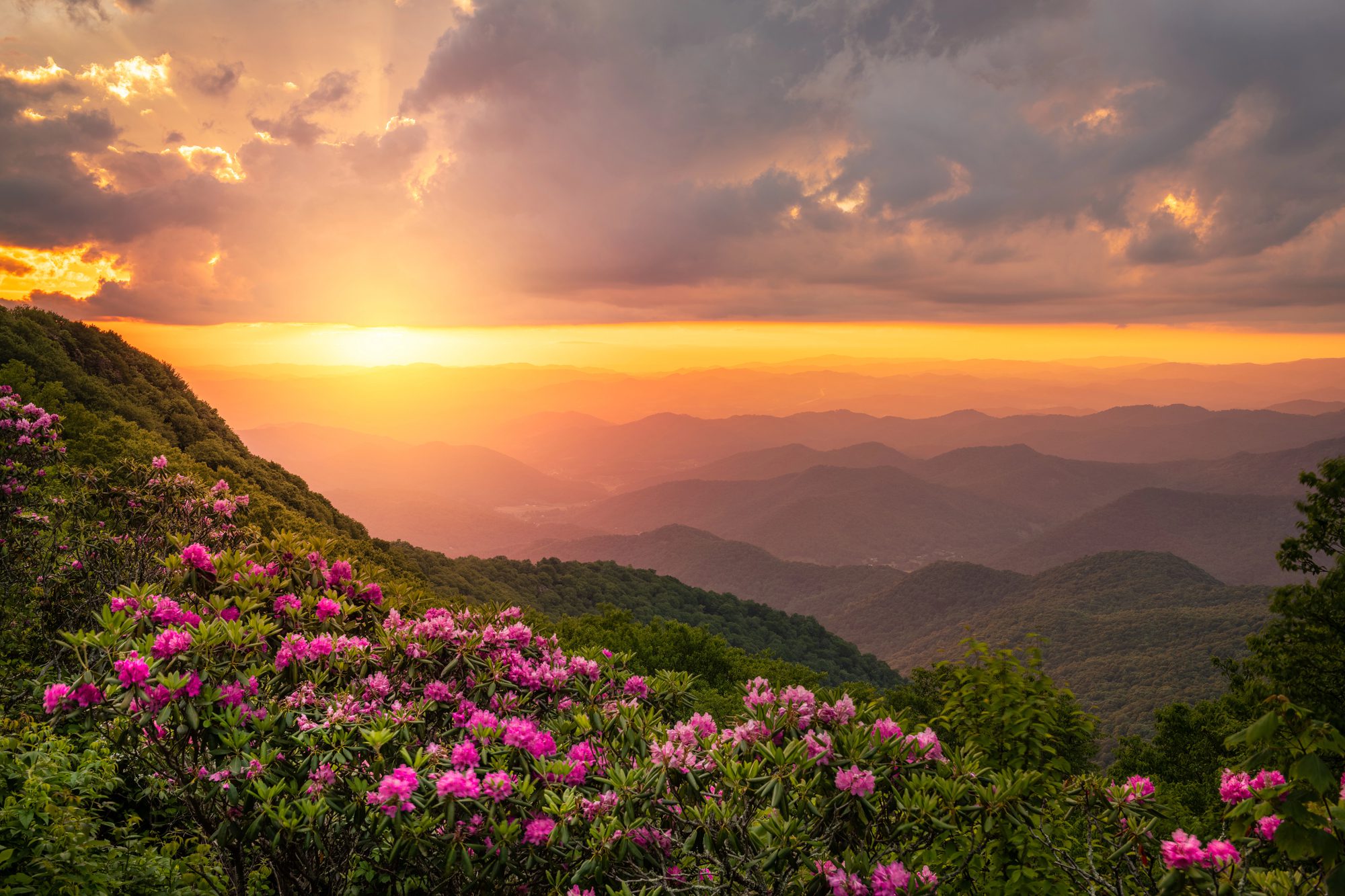
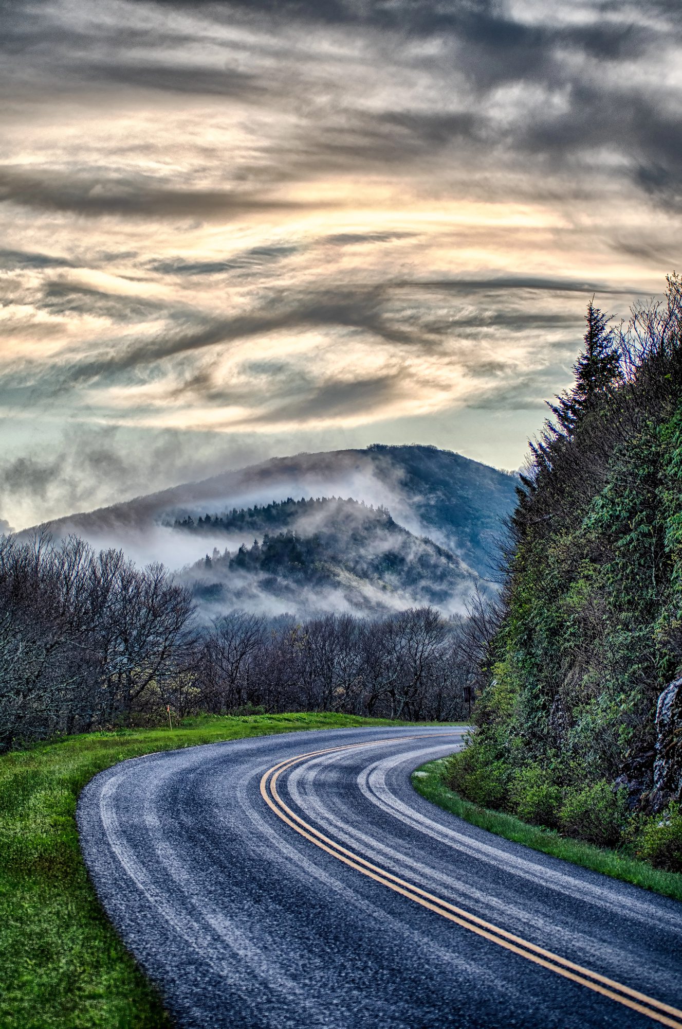
The limit is mostly 45 mph, the curves tighten as you take them, and nine tunnels cut through this stretch of ridge. The road was laid out with overlooks to pull into, and the tour uses them.
Families book this one, and so do photographers. Blankets and rain ponchos are in the vehicle.
What you get: an open-air Jeep, three hours, and a guide who knows the road
Three hours in a custom open-air Jeep with a local guide, from Brevard up onto the Parkway and back down. Blankets and rain ponchos are on board; hiking poles are there if you want them.
The Jeep, and why open-air changes the drive
A windscreen turns a mountain drive into something you watch. With the sides open you are inside it. You feel the air cool as the road climbs, and the smell shifts from damp hardwood cove to spruce as you gain the ridge — the roadbed on this stretch runs from about 2,900 feet to 5,550.
Nine tunnels sit in these miles, and in an open vehicle the engine note coming back off the rock is part of the ride — not something happening on the far side of glass.
In cooler months the Jeeps run enclosed and heated.
Your guide
Your guide is local and drives this road in every season — the difference between passing an overlook and stopping at the one worth your time that morning. Routes and highlights shift with the season. Commentary covers Appalachian history and ecology, plus the folklore that attaches to particular rocks.
Cherokee tradition puts a giant named Judaculla holding court in a chamber beneath the rock at Devils Courthouse.
A Vanderbilt hunting estate here became the first school of forestry in America, and 87,000 acres of it went on to become Pisgah National Forest.
Private or public
Both are offered. Book privately and the Jeep is yours — a family, or friends marking something. Public departures mix couples and small groups in one vehicle; solo travellers are welcome, and the conversation between guests is usually half the pleasure of the morning.
The corridor
Where this tour takes you
The stretch of Parkway we drive
US-276 leaves Brevard and climbs 2,380 feet in under nineteen miles before the highway ducks under the Parkway bridge at Wagon Road Gap, 4,550 feet up. That gap is milepost 411.9, and it is where the tour meets the ridge.
The tour joins the Parkway at Milepost 411.9 and three hours buys one arm of the corridor, north or south — not both. Hover or tab a marker to see it.
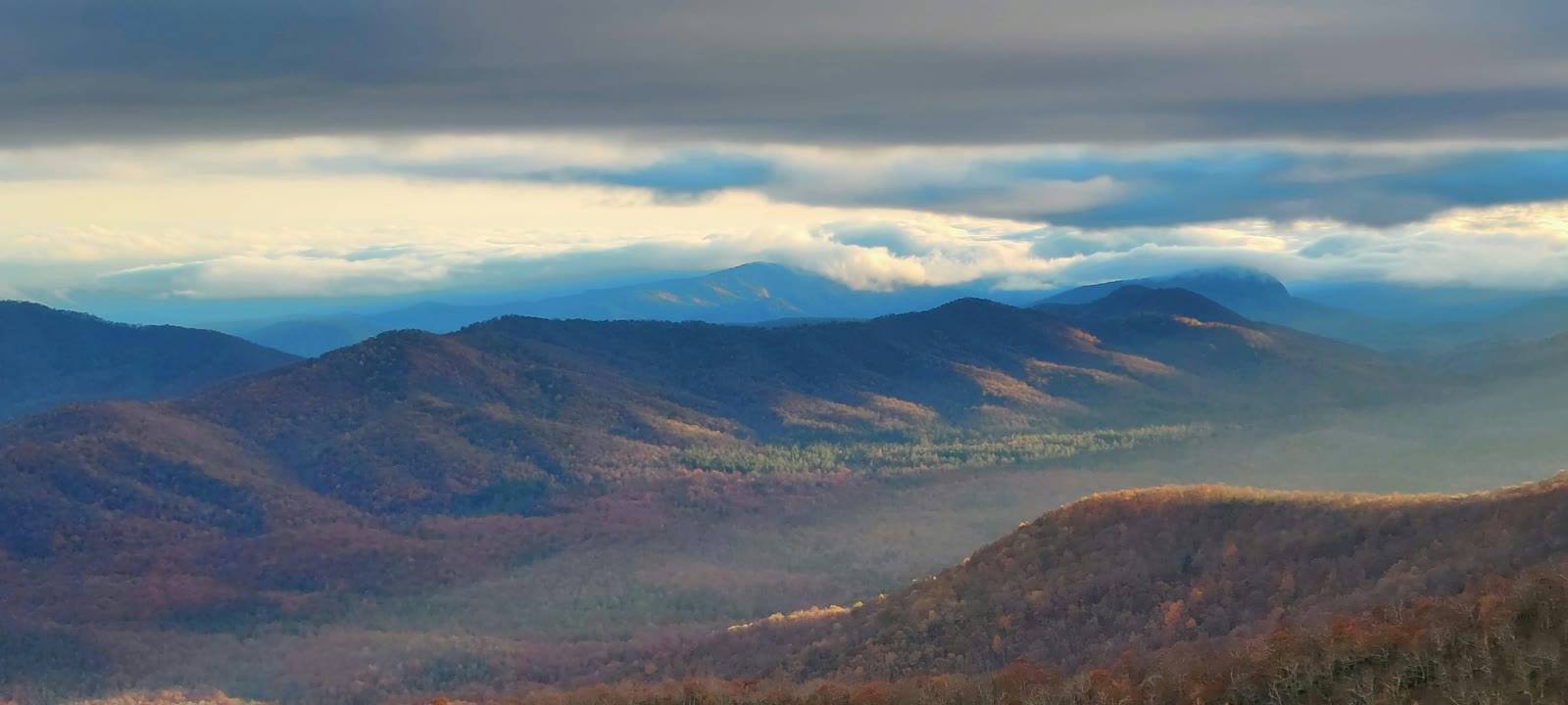
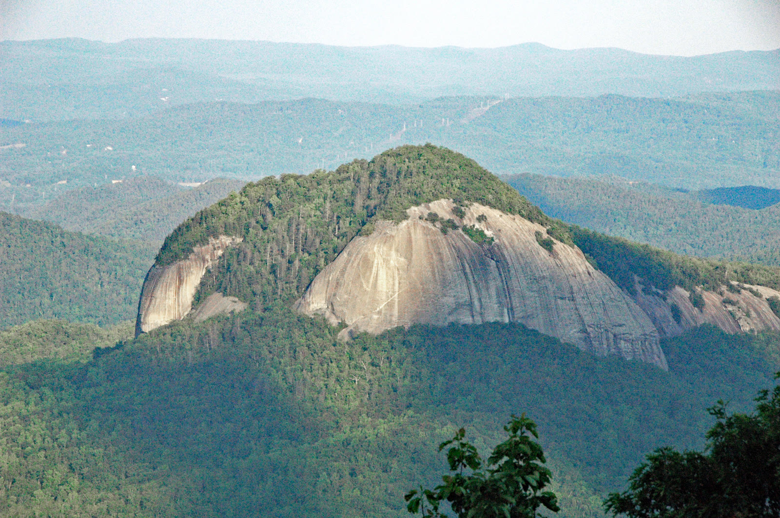
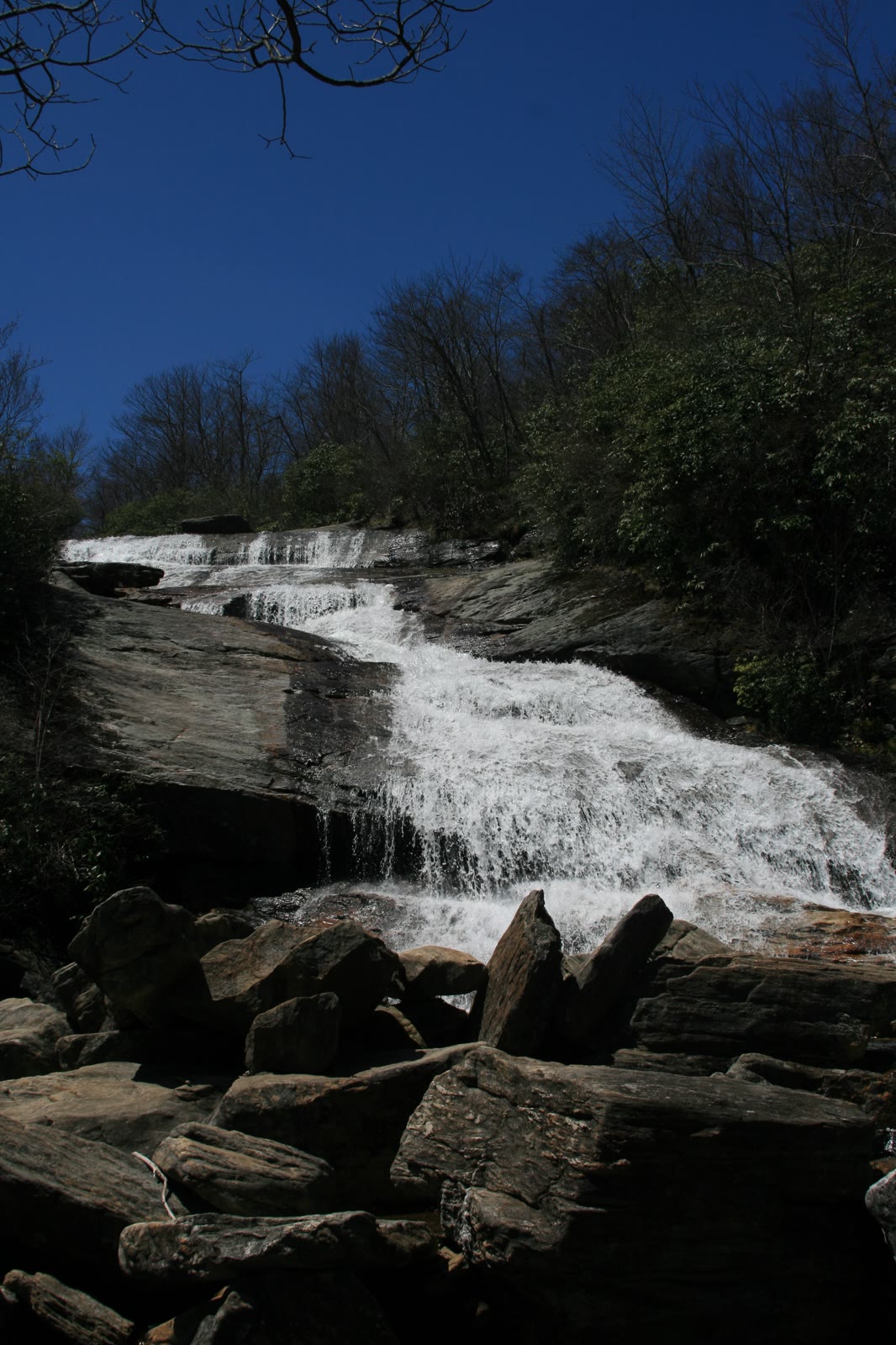
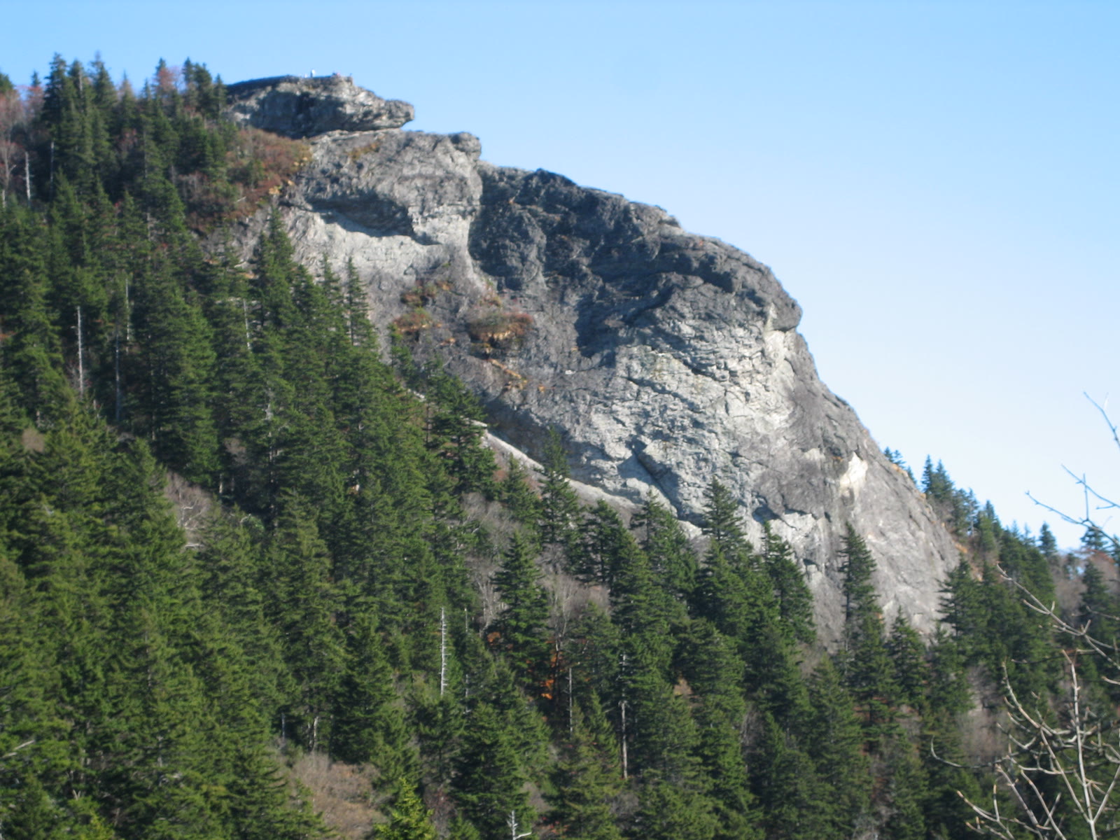
Swipe the rail to see the whole stretch.
MP 400MP 423.2
Mileposts: National Park Service. Photographs are of these named places; the operator publishes no fixed stop list, so this shows what the corridor contains, not an itinerary.
From there the road runs the crest of the Pisgah Ledge. The stretch within reach — roughly milepost 400 to 423 — carries overlooks spaced a mile or two apart, nine tunnels cut through rock, and a run of named high points. Devils Courthouse tops out at 5,720 feet. Frying Pan Mountain reaches 5,340, a 1940s fire tower still standing on it. Pounding Mill Overlook sits at 4,700 feet and opens long views in three directions. Pisgah Inn, the highest-elevation lodging on the Parkway, is on the same ridge. Looking Glass Rock shows itself from more than one pull-off along here — a bare granite dome that takes on a sheen when rain or ice settles on it. Graveyard Fields opens as a treeless valley at the roadside. The roadbed itself swings between 2,915 and 5,550 feet.
We do not name the stops in advance. The tour pulls in at overlooks along the way, and which ones depends on the day — where the cloud is sitting and how full the popular pull-offs are. A guide who drives this ridge weekly reads that better than a printed itinerary.
What three hours honestly covers
The Parkway is 469 miles long, running from Virginia to the Smokies. Three hours covers one arm of the band above.
Of 180 minutes, about 75 go on US-276, up and back down. The rest is ridge time, which works out to ten to fourteen Parkway miles in a single direction once stops are counted. So it is north toward Mount Pisgah or south toward Devils Courthouse — one arm of it, not both.
That band is the part people picture when they picture the Blue Ridge Parkway: high, tunnelled, spruce at the top of it, ridges falling away on both sides. Three hours is enough to stop on it properly.
Logistics
How long it takes and where it departs
Three hours, door to door. You meet at 209 N. Caldwell Street, Brevard, North Carolina 28712, and you finish back at the same spot.
| Distance, one way | 18.83 mi |
|---|---|
| Drive time, one way | 37.9 min measured; 25 to 35 min as a planning range. The descent was not separately measured. |
| Elevation, meeting point | 2,174 ft |
| Elevation, Wagon Road Gap | 4,551 ft |
| Net climb | 2,376.6 ft |
Distance and drive time computed from OpenStreetMap road geometry (OSRM); elevations from the USGS 3DEP elevation service; speed limit and Milepost 411.9 from the National Park Service. Times assume free-flowing traffic and no stops.
The times running on your date sit on the live booking calendar. Choose a date and the available departures show.
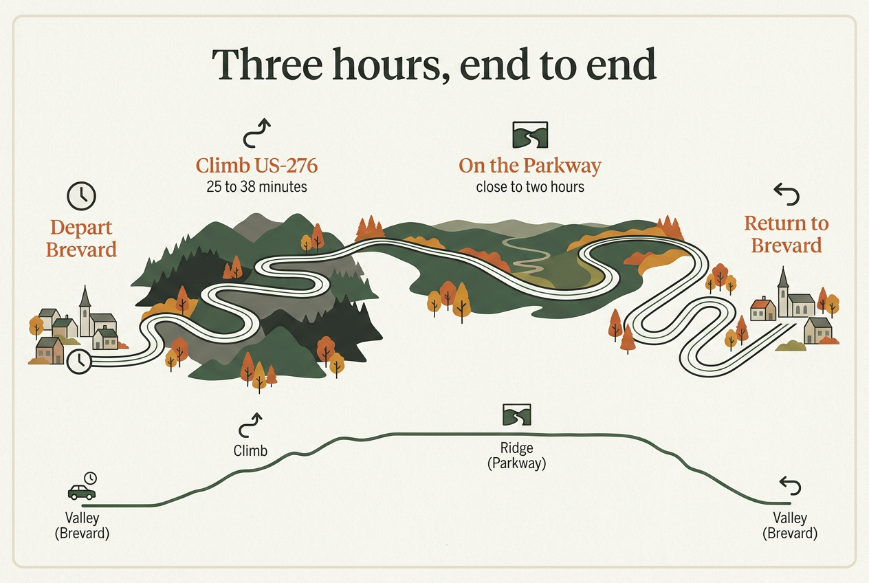
Getting from Brevard up onto the Parkway
The Parkway sits high above the valley, so reaching it is part of the ride. US-276 runs north out of town through Pisgah National Forest, two paved lanes carrying the Forest Heritage National Scenic Byway. It runs a shade under nineteen miles and gains about 2,380 feet. It tops out at Wagon Road Gap, 4,551 feet up, where the highway passes underneath the Parkway at milepost 411.9 and ramps carry you onto it.
That climb takes 25 to 38 minutes in each direction. The shape of it:
- 0:00: leave North Caldwell Street.
- 0:25 to 0:38: onto the Parkway at Wagon Road Gap.
- the middle stretch: close to two hours up top, stopping at overlooks.
- 3:00: back at the same spot.
Seventy-six of the 180 minutes are the drive up and back down; the rest is on the Parkway itself.
Booking
What it costs and how to book
$99 for guests 13 and up, $59 for children 5 to 12. Three hours, round trip, leaving from 209 N. Caldwell Street in Brevard. Dates and start times live on the booking calendar, so whatever shows there is what is genuinely running that week.
Check dates and book online. Bookings start at two people. Travelling on your own, or want the Jeep to yourselves, or just want to ask about the vehicle before you commit? Call (828) 269-3936 and a person will pick up.
Blankets and rain ponchos ride along, and hiking poles are there if you want them. Through the cooler months the Jeep runs in its enclosed, heated configuration.
If you want a longer day
There is a four-hour version of this drive that adds a waterfall: $119 for guests 13 and up, $69 for children 5 to 12. It departs Asheville, not Brevard, so read the meeting point twice before you set out. See the four-hour Parkway and waterfall tour.
Before you go: who it suits, and what to bring
Who tends to book this
Families, couples, photographers and small groups all book this drive. Children ride at the child rate from ages 5 to 12, and everyone 13 and over pays the adult rate. Public departures share the vehicle with other guests; private departures are offered too.
Photographers do well up here for two plain reasons. There is no window glass between the lens and the ridge, and the light over these overlooks turns fast. Cold Mountain Overlook faces west, which is worth knowing if you are working late in the day.
Two things are worth a phone call before you book rather than after. If you are travelling with a child small enough to need a car seat or a harness, ask how that is handled. If you are not steady on your feet, ask about getting up into the vehicle. Call (828) 269-3936 for either one.
What we hand you
Blankets, rain ponchos and hiking poles ride along and are handed out as needed. For cooler months, enclosed and heated configurations of the vehicle are available. Leave your own wet-weather gear at the hotel.
What to bring yourself
The Parkway is colder and windier than Brevard, and an open vehicle sharpens both. Pounding Mill Overlook, on this stretch of road, stands at 4,700 feet, and the wind at that height has nothing to get through to reach you.
- A warm layer you can add at the top of the climb and shed on the way back down.
- Something that cuts wind: a shell, and a hat that stays on your head.
- Sun protection, including sunscreen for the parts of you a roof would normally cover.
- A camera, or a phone with space left on it.
Current conditions
Is the Blue Ridge Parkway open right now?
Check before you drive. The National Park Service updates its road status table through the day and states that conditions can change after the page is updated. Any status printed here is a snapshot, not a guarantee — open the live NPS closure table before you set out.
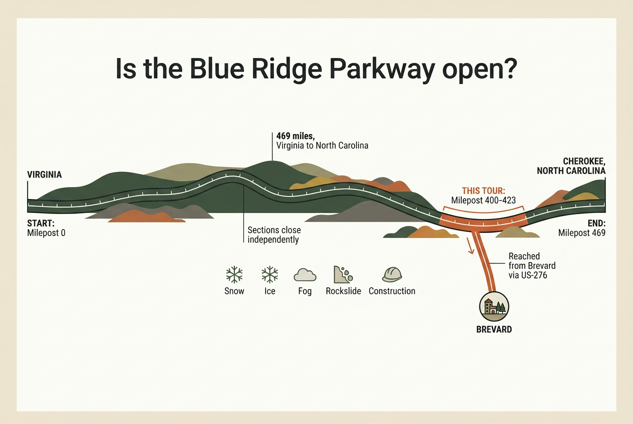
Parkway, Milepost 400.3 to 423.2
OPEN
National Park Service road status table, stamped “7:15 A.M, Wednesday, August 5, 2026”.
The nearest closed stretch is 50 to 100 miles north — the far side of Asheville from this one.
Road status and closures, and the closed northern stretch: National Park Service.
Yes, for the stretch this tour drives. Every gated segment from milepost 400.3 to milepost 423.2 was open as of 5 August 2026.
What is open, and what is not
That range covers the whole of the drive: the gate at Bent Creek, the run past Mount Pisgah and the inn, the crossing at US 276 where the tour comes up from Brevard, the miles out to Graveyard Fields and the Black Balsam access road, and the last stretch to Beech Gap at NC 215. Open, gate by gate, with no restriction attached to any of them.
The long storm closures on the Parkway lie further north, between milepost 317.5 and milepost 355.3. None of that touches the stretch this tour drives.
The wider road is a different question. The Parkway runs 469 miles from Virginia into North Carolina, gated in sections that close independently for snow, ice, fog, rockslide and construction. A single section can be shut while everything either side of it stays open, which is why "is the Parkway open" rarely has one answer.
How to check your date
Two things decide your morning: the date you are booked, and the twenty-three miles between milepost 400.3 and 423.2. The gates in that range are listed one by one on the live road status page — check the road status before you drive.
There is no calendar winter closure. The road stays open through the cold months and gates come down on snow and ice as it arrives, sometimes ahead of a forecast storm, sometimes for a few hours at a time. From late autumn onward, that same link is worth a look the morning you travel.
If a gate does drop on your date, call (828) 269-3936 and we will tell you what the road is doing before you leave the house.
The most scenic section of the Blue Ridge Parkway
The stretch between Mount Pisgah and Beech Gap carries the Parkway across some of the highest ground it reaches in North Carolina, and it holds the overlooks people have in mind when they ask which part of the road to drive. It is the stretch this tour covers.
How high the road climbs here
Devils Courthouse tops out at 5,720 feet. A few miles north, Frying Pan Mountain reaches 5,340 feet, with a 70-foot fire tower on its summit put up in the 1940s and retired in the nineties. Pounding Mill Overlook sits at 4,700 feet. Pisgah Inn, the highest lodging anywhere on the Parkway, stands above 5,000 feet.
About 2,380 feet of climbing, in under nineteen road miles.
Height changes the forest. Spruce and fir hold the highest ground on the Parkway, where it is too cold and harsh for the hardwood trees that grow lower down.
Elevations: Haywood County, North Carolina, and the U.S. Geological Survey. Road distance measured on OpenStreetMap road data. Spruce and fir at high elevations: National Park Service; the cold-tolerance explanation is from a secondary Parkway account.
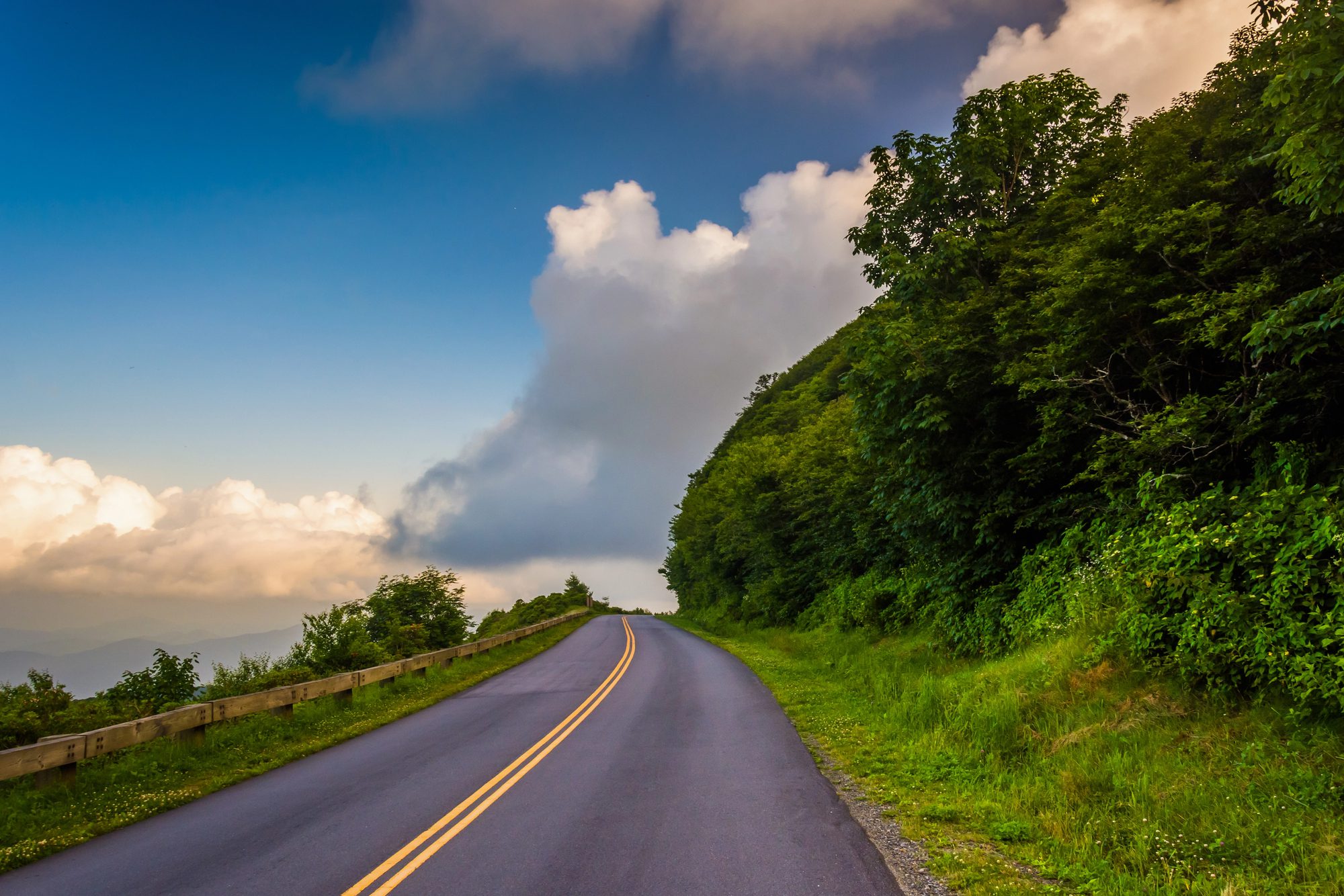
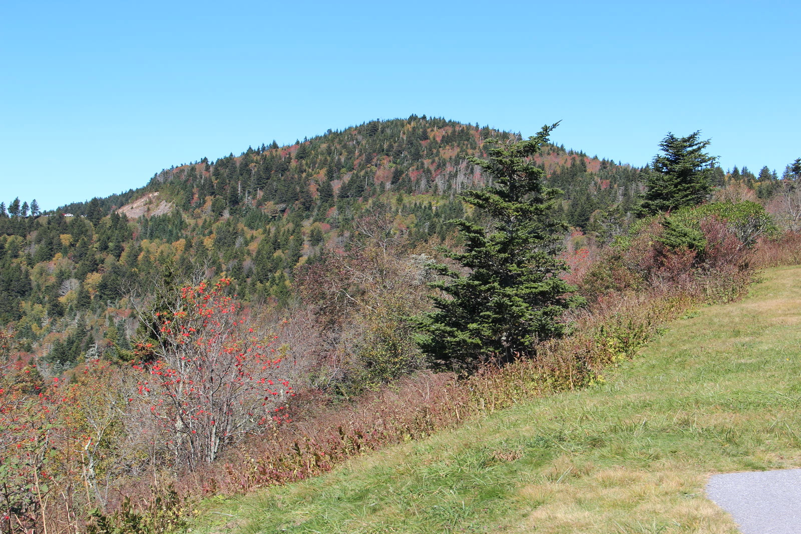
The road climbs steadily out of the valley and then stays up, running the crest of the ridge for miles at a time. Spruce grows at this height, and the dark rock of Devils Courthouse rises straight out of it.
What the overlooks look out over
Pounding Mill is a wide paved pull-off on the east side of the road, with long-range views in three directions — Pisgah Inn visible to the north, Looking Glass Rock to the south. Looking Glass is a bare granite dome that takes on a sheen when rain or ice settles on its face, and it shows up from three separate overlooks along this stretch.
From the top of Devils Courthouse, a strenuous half-mile above the parking area, a clear day reaches into four states — North Carolina, South Carolina, Georgia and Tennessee. Peregrine falcons nest on the side of that rock face. Cold Mountain Overlook faces west, which is worth knowing late in the day. Graveyard Fields opens out as a high shrub valley where a windstorm flattened the forest and left stumps standing like headstones.
How the road drives
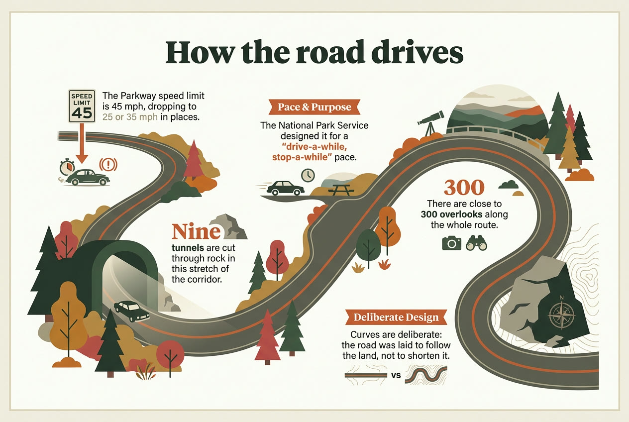
The limit is 45 mph for most of the way and drops to 35 or 25 where the curves tighten. Those curves were laid to follow the shape of the land, and many of them close radius as you go through, which is why the road wants a slower hand than the posted number suggests. Nine tunnels are cut straight through rock in this stretch; the longest, at Devils Courthouse, runs 650 feet.
Close to 300 overlooks sit along the full route, spaced so that stopping is the normal way to travel it. The road was built to be driven slowly. A first-time driver spends three hours reading curves and watching for the next pull-off. In a passenger seat you spend them looking outward.
Autumn along the corridor. Colour arrives at the highest elevations first.
Timing
The best time of year to drive the Parkway
Routes and highlights shift with the season, so the same three hours gives you four different drives.
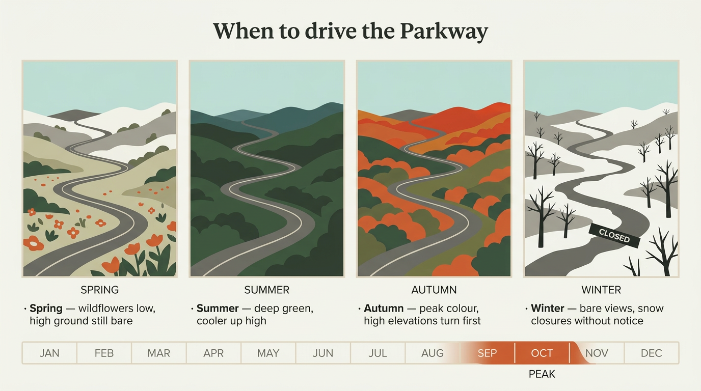
Spring works from the bottom up. The forest on the climb out of Brevard is greening and flowering at ground level while orchids, lady's slipper and dwarf iris come up along the creeks, and the ridge above is still bare and grey because the high ground stays too cold and harsh for the hardwoods thriving below it — two seasons in one hour of driving.
-
Autumn
Peak colour, forest close on both sides of the road.
Monarchs cross this corridor in September and October.
-
June
Rhododendron in bloom above the ridges.
Pisgah Inn, on the Parkway, open 1 April – 31 October.
-
Summer
Deep green the whole way up.
Sliding Rock, on the road up, staffed 25 May – 7 September 2026. $6 a person, five and under free.
-
Cold season
Bare trees, evergreens, fog on the ridges.
No seasonal closure. Snow and ice close the road day by day, and it reopens when travel is safe.
This stretch of road runs between roughly 2,900 and 5,550 feet, and the Park Service puts the crest 10 to 20°F cooler than the foothills. Bring a layer in any month.
Pisgah Inn season: Pisgah Inn. Sliding Rock fee and staffed dates: US Forest Service. Monarch timing, winter closures and the foothill-to-crest temperature difference: National Park Service. Overlook elevations: Haywood County records.
Summer is deep unbroken green, and the height is the whole point. When the valley is warm, an overlook at five thousand feet is cool enough that you will want one of the blankets the guides carry.
Autumn is why most people come, and it is where the usual advice will steer you wrong. Colour climbs down the mountain, arriving roughly a week earlier for every 1,000 feet you gain, starting on the highest peaks and finishing in the low country. Peak sits around mid-October between 2,500 and 4,000 feet.
This drive spends its time above that band: the roadbed through this stretch runs from 2,915 feet up to 5,550, so the high ground usually turns from late September into early October, and the lower elevations follow through late October. Book the last week of October for peak colour and you will be looking down at it from the overlook wall.
A warm end to September pushes the whole sequence back, sometimes by a few days and sometimes by as much as two weeks. Ask us close to your date rather than trusting a calendar rule — if a different week suits what you want to see, we will say so.
Winter is the quiet one. Bare trees open sightlines that leaves close off for the other nine months; ridgelines you cannot see in August are simply there. The road carries no calendar winter closure, but sections shut for snow and ice as conditions demand, judged in real time by the people who maintain it, so a winter trip is worth a status check before you set out. Enclosed, heated vehicle configurations are available for the cooler months.
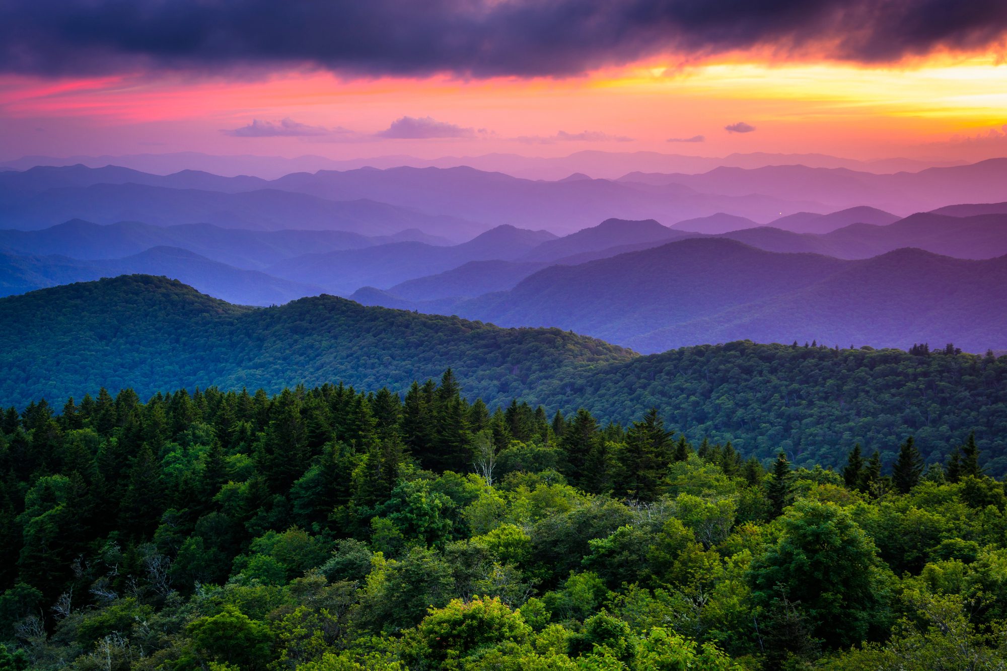
Whatever the month, the first and last hours of daylight are when the ridges pull apart into separate layers of blue instead of reading as one mass of trees. If you are carrying a camera, ask about the earliest and latest departures when you book.
28 places along the Blue Ridge Parkway
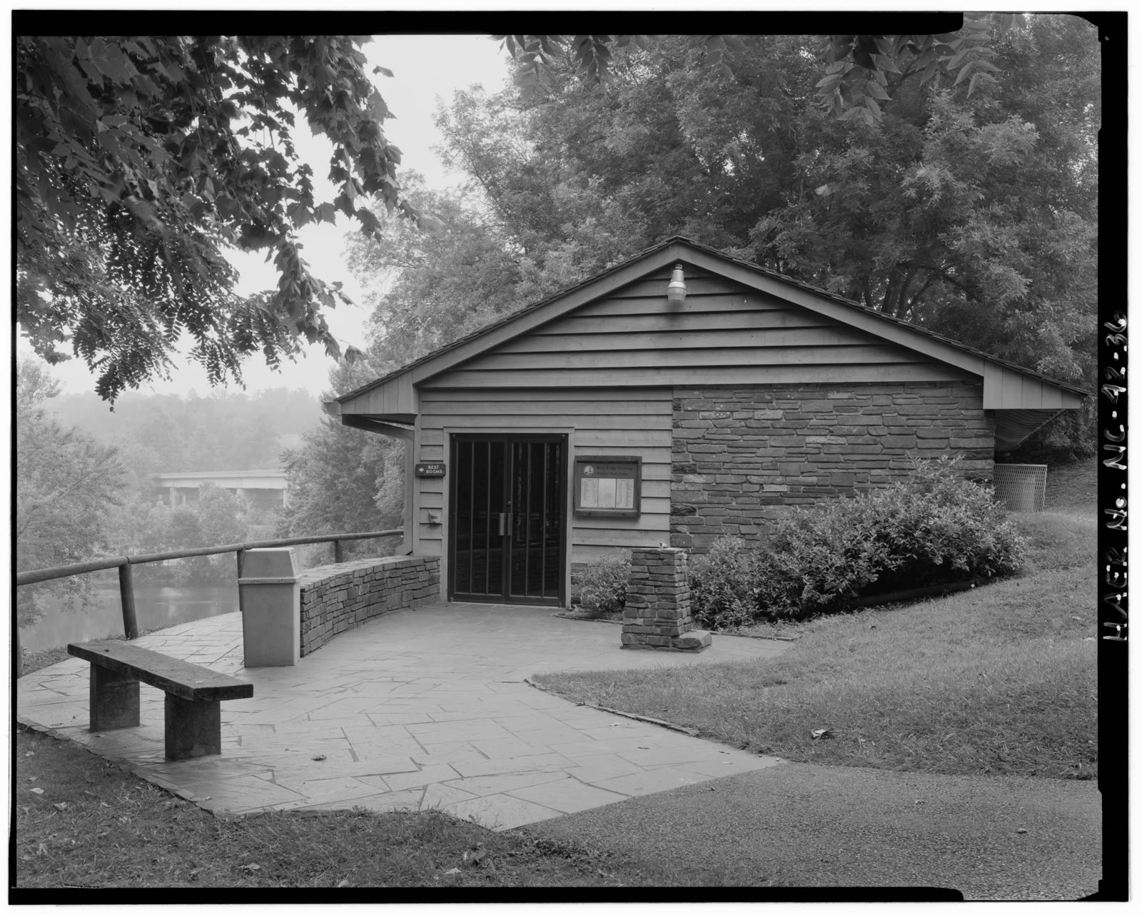
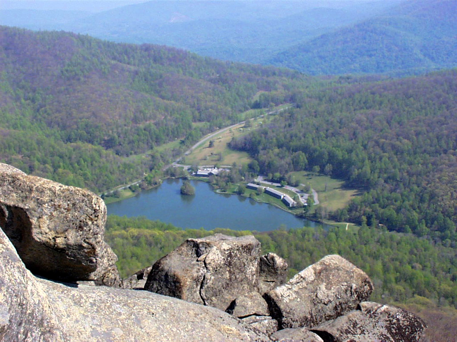
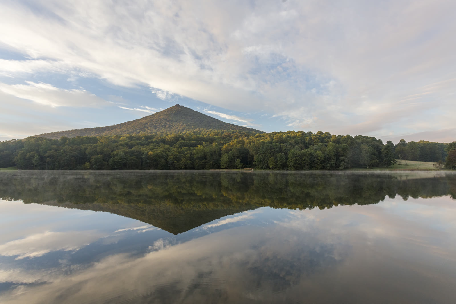
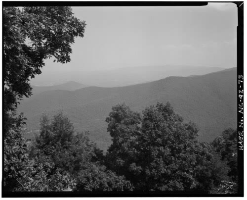
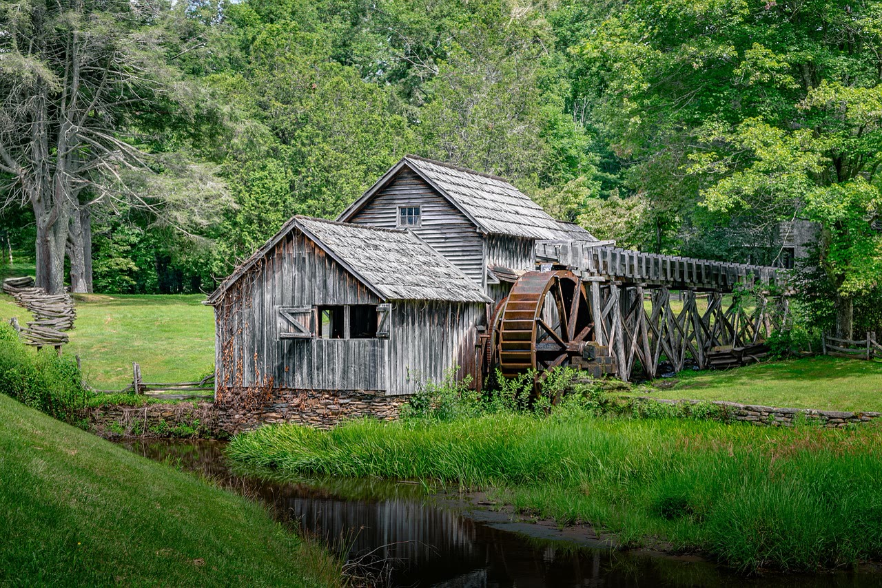
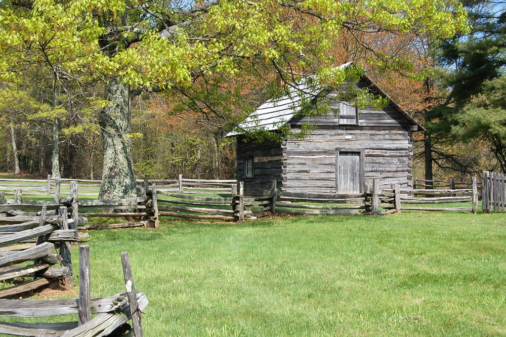
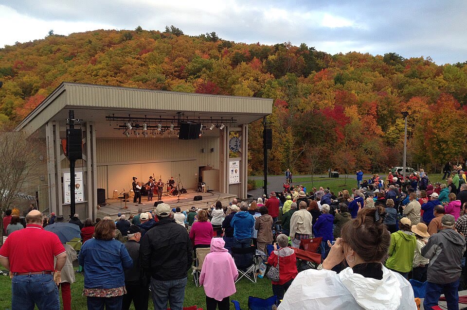
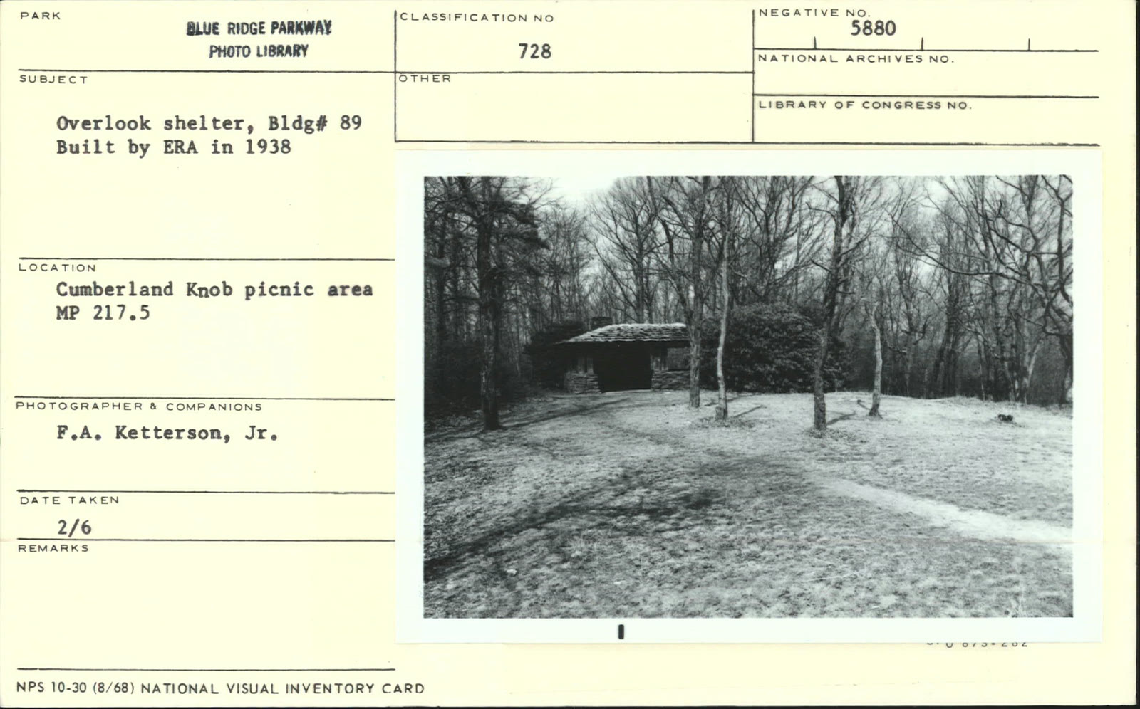
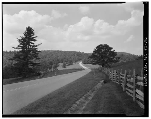
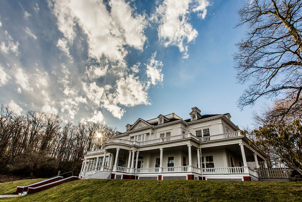
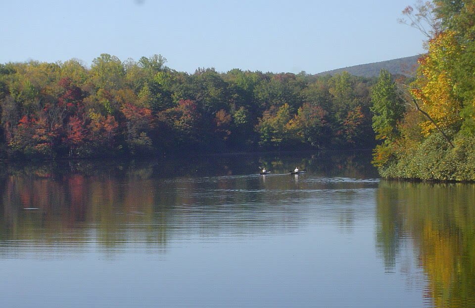
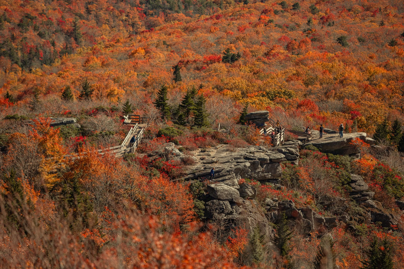
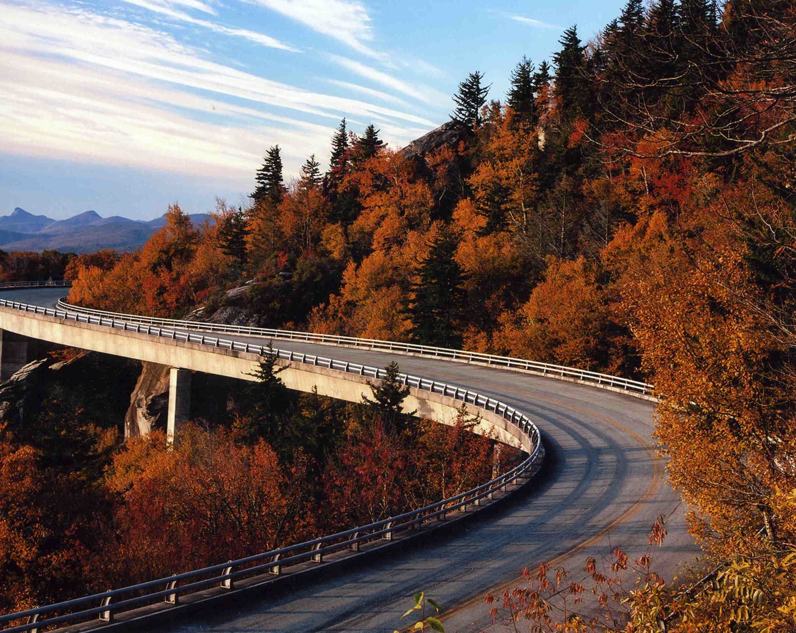
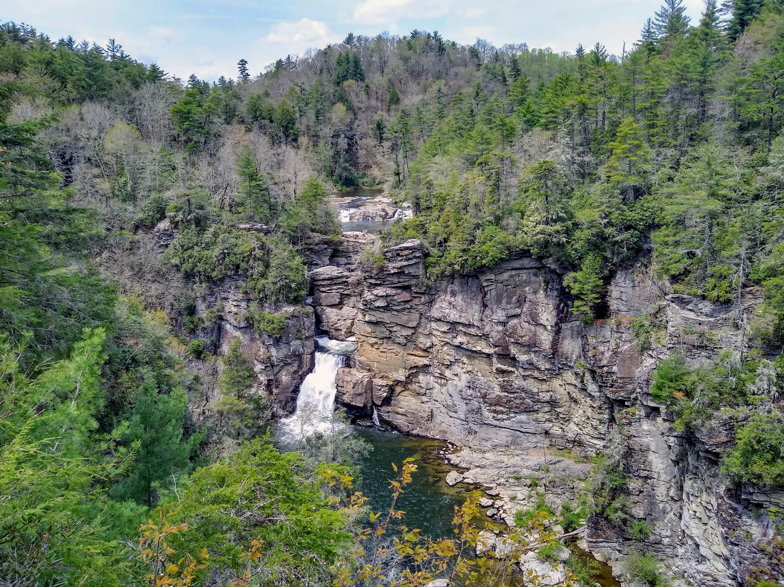
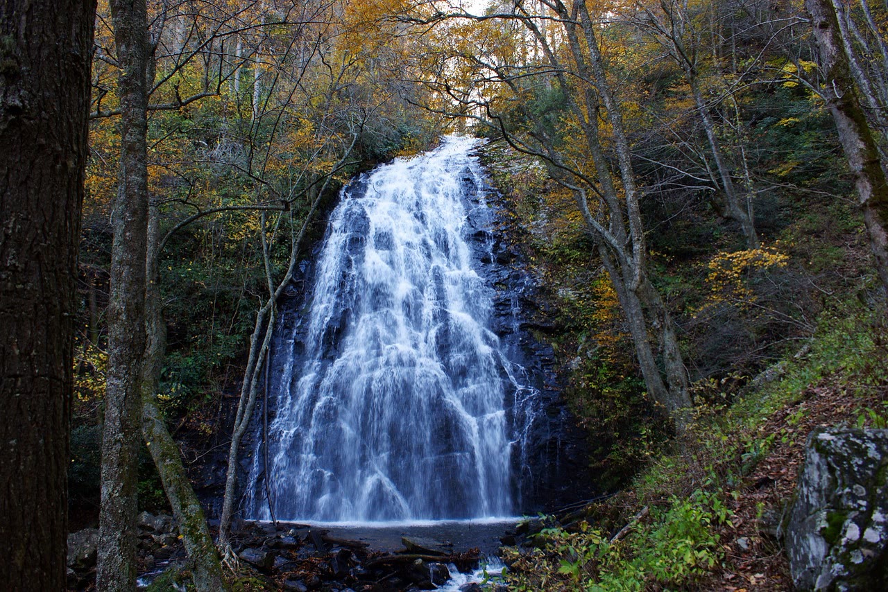
The gallery below covers the whole 469-mile Parkway, from Rockfish Gap in Virginia down to the Cherokee end in North Carolina — not this tour. These are the places people ask about across the full length of the road, and only four of them stand on the stretch a three-hour drive from Brevard can reach.
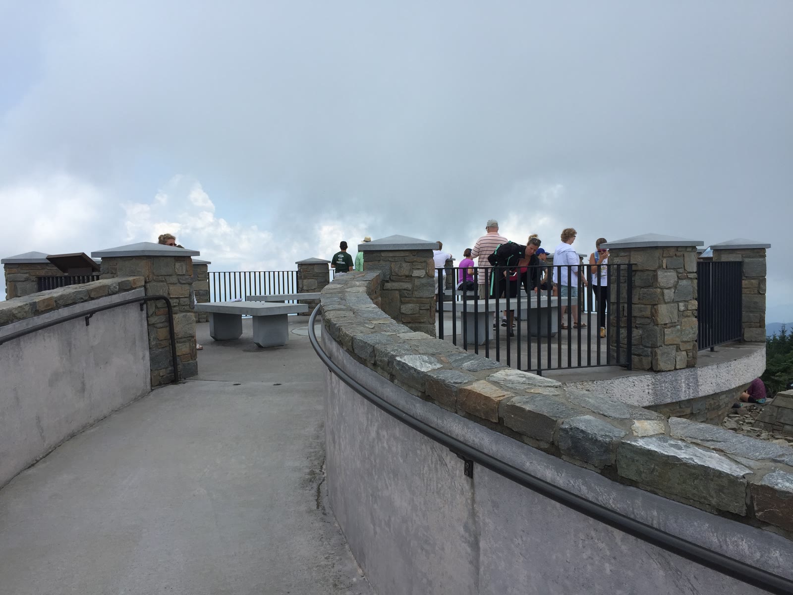
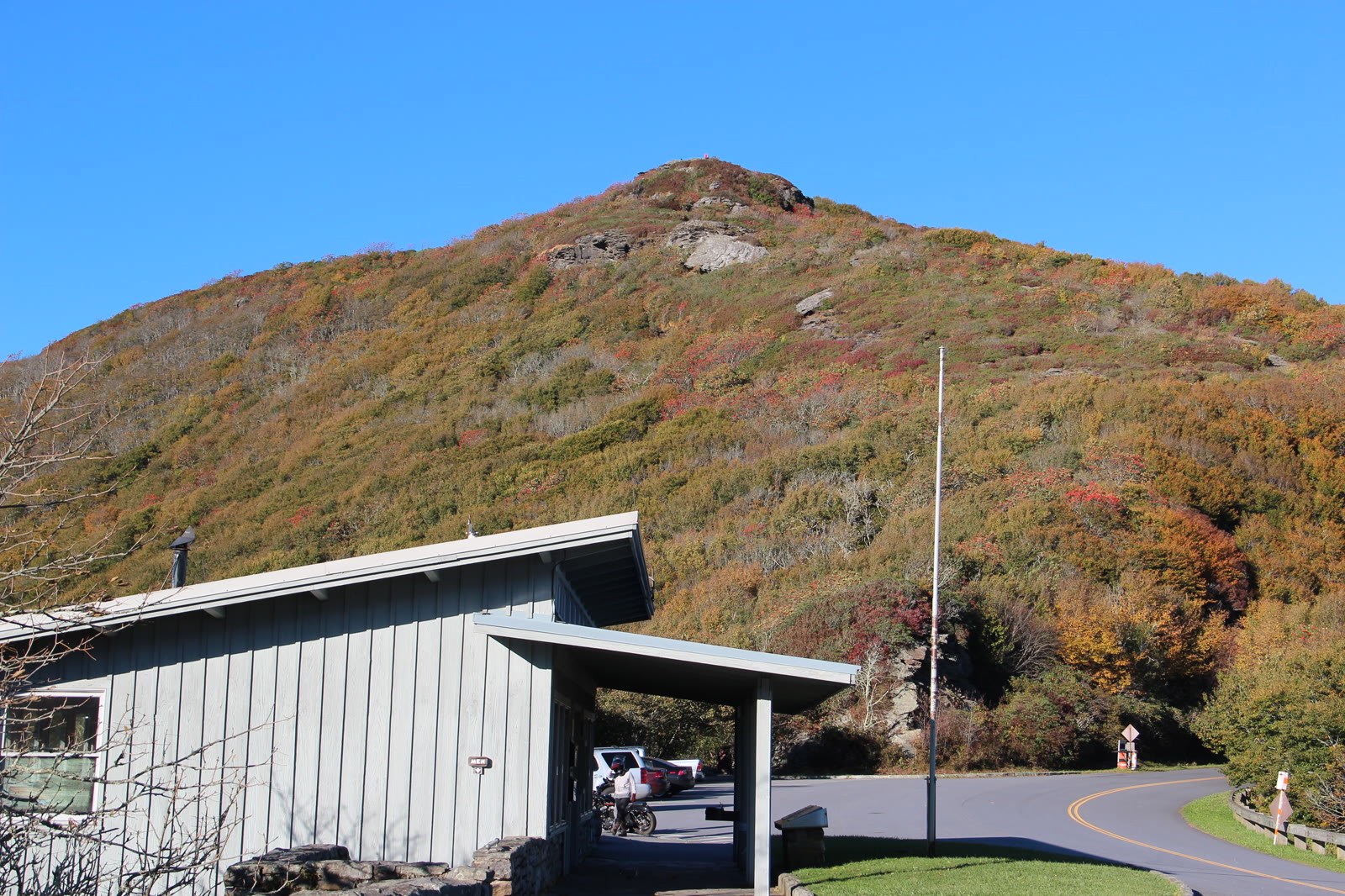
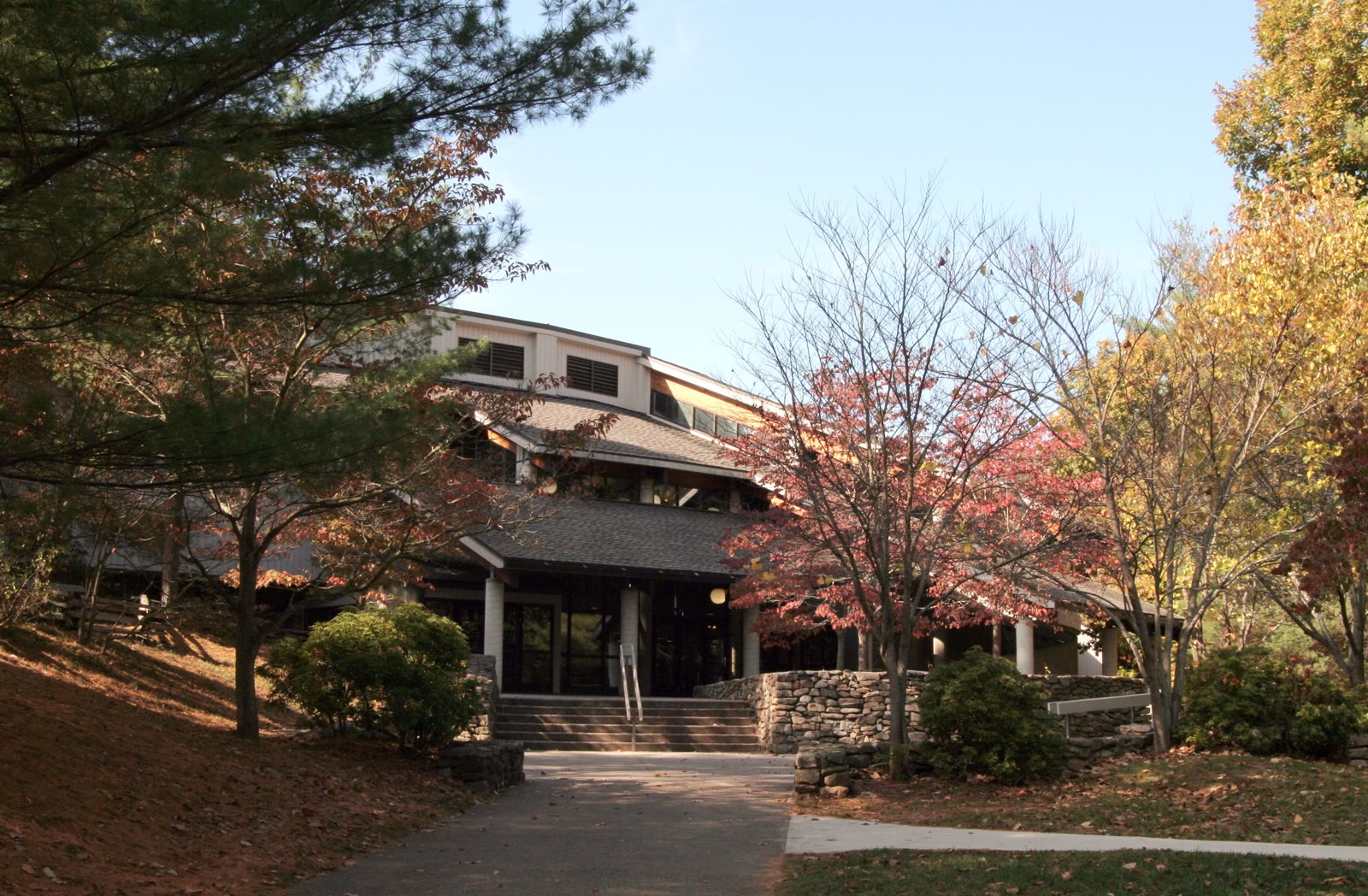
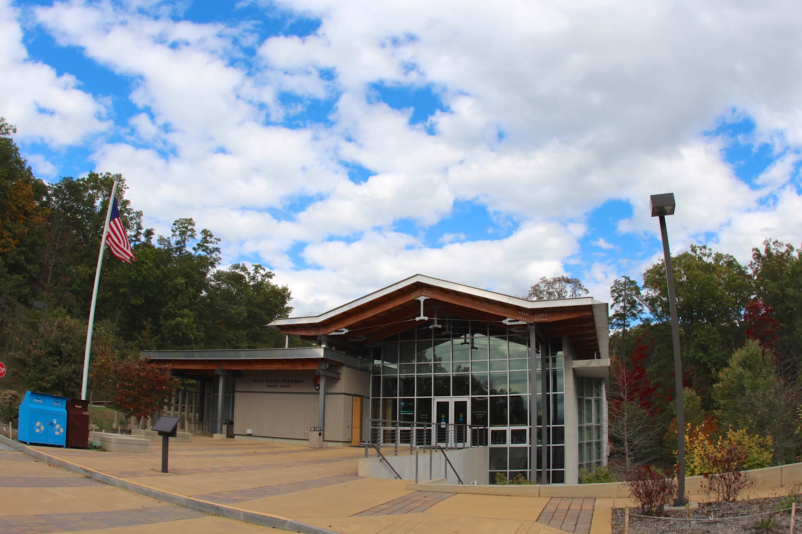
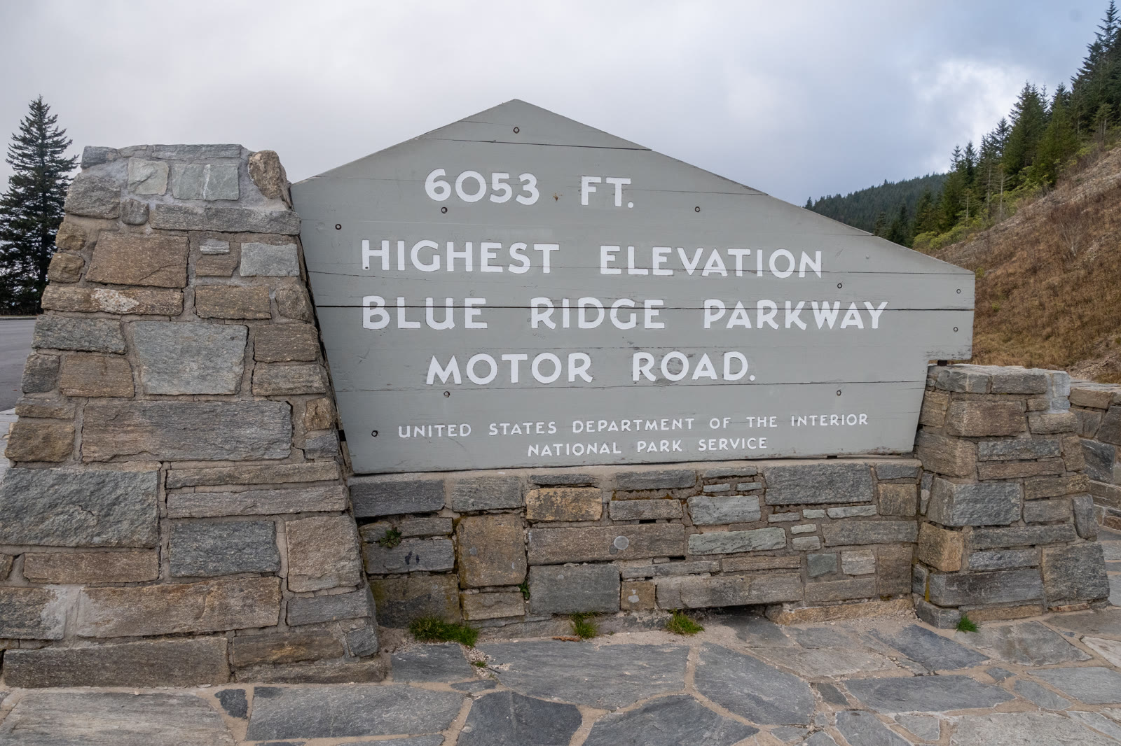
Mileposts count up from zero at the Virginia end and finish at 469.1, with the state line falling at milepost 216.9. This tour works the far southern end of that run, between mileposts 400 and 423. Four of the twenty-eight sit inside that band: Mount Pisgah at 408, the Looking Glass Rock overlook at 417, Graveyard Fields at 418.8 and Devils Courthouse at 422. Richland Balsam, the highest ground the road crosses at 6,053 feet, lies a few miles further south again.
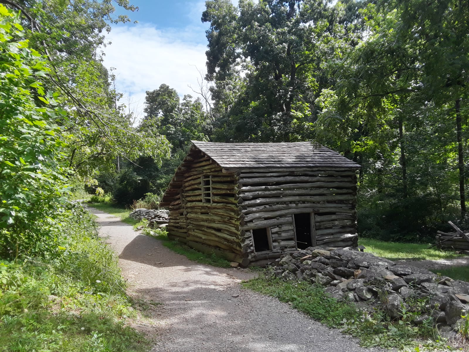
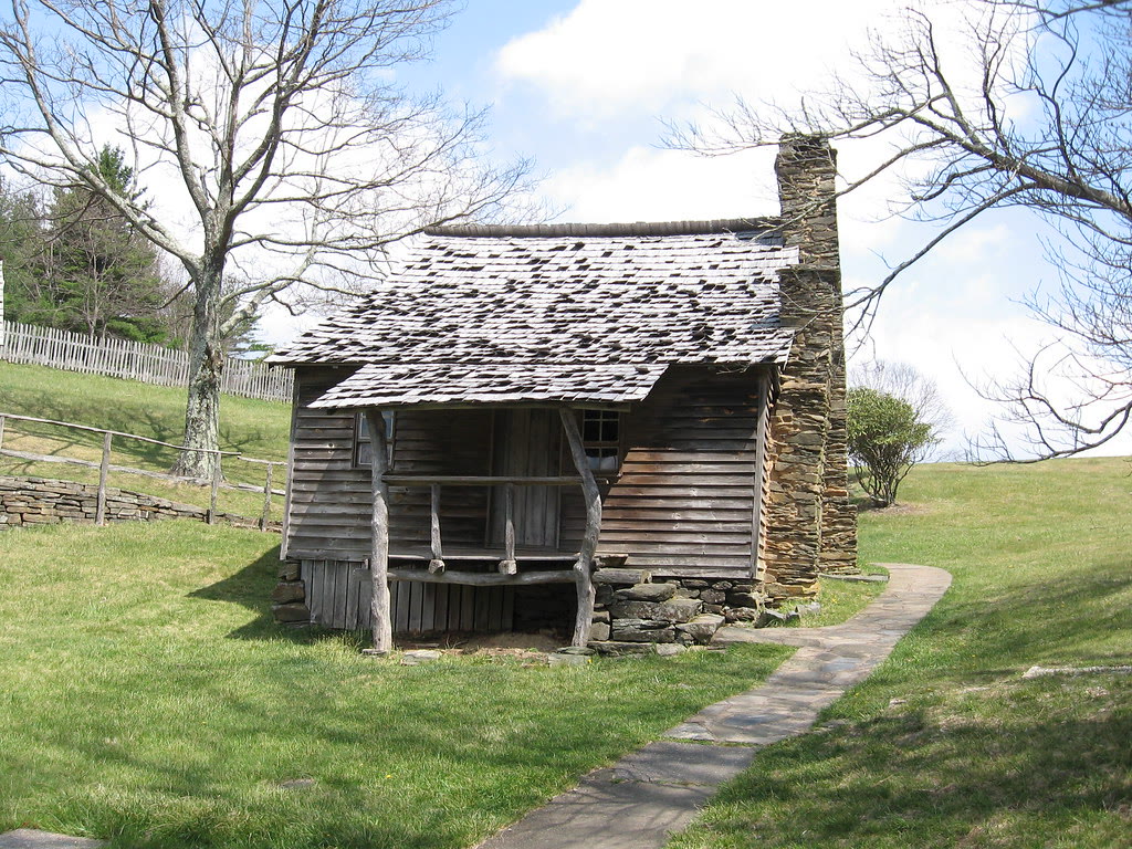
The rest range widely: a restored 1890s mountain farm at milepost 5.8, a curving viaduct at 304 built segment by segment so machinery never touched the slope beneath it, and mills, waterfalls, high balds and pioneer cabins in between.
Every place in the gallery carries its milepost, because that number is how anything on the Parkway is located — a single figure counting upward as you drive south. Work from the milepost rather than the nearest town name; several of these sit hours apart and share little beyond the same ridgeline. The northern half of the road still has long stretches closed for storm repair, so anyone planning their own drive up there should read the live road status before fixing on a milepost.
Questions
Common questions
Is the Blue Ridge Parkway open? Yes, along the stretch this drive uses. Every gated segment from milepost 393.6 through 423.2 was open when the road status was last read, at 7:15 a.m. on 5 August 2026. The nearest closed section lies well north, milepost 317.5 to 355.3. Weather shuts gates without notice, so check the live status link before you set out.
Where does the tour leave from? From 209 N. Caldwell Street in Brevard. Older listings mention an Asheville departure for this tour; the Caldwell Street address is the one to drive to. That start puts you under nineteen miles from the Parkway at milepost 411.9, close enough that three hours buys real time on the road instead of a commute.
How long is the tour, and how does the time break down? Three hours, door to door. Around 25 to 38 minutes of that is the climb up US 276, 104 to 130 minutes is spent on the Parkway itself, and the rest is the run back down. Adult and child fares for ages 5 to 12 sit on the booking calendar with live availability.
Is it good for kids? Yes, from age five up. Children five to twelve ride at a reduced fare, and we do not recommend the tour for under-fives. The overlooks are roadside by design, so nobody has to hike to see anything. If you have a question about seating a particular child, call (828) 269-3936 before you book.
What is the vehicle, and what should I bring? A custom open-air Jeep with elevated seating, with enclosed and heated configurations available for cooler months. Blankets, rain ponchos and hiking poles are carried. Bring a heavier layer than you would wear in town: the crest of the Parkway runs 10 to 20°F cooler than the foothills, and an open vehicle makes that felt.
Which part of the Parkway does the tour cover? The stretch either side of the US 276 crossing at milepost 411.9 — Mount Pisgah and Frying Pan to the north, Graveyard Fields and Devils Courthouse to the south. Three hours covers one arm of that properly, about ten to fourteen Parkway miles, so your guide picks the direction the day suits.
What is the prettiest section of the Blue Ridge Parkway? The high country south of Asheville is the usual answer, and it is the section this tour drives. It holds the tallest ground on the road: Devils Courthouse at 5,720 feet, and Pounding Mill Overlook at 4,700 feet with long views opening in three directions from one paved pull-off.
When is the best time of year to come? Autumn colour arrives roughly a week earlier for every thousand feet climbed, so ground at 5,000 to 6,000 feet peaks in late September and early October while lower elevations run on into late October. A warm end to September pushes it later. Monarch migration crosses the high meadows through September and October.
Can we book the whole vehicle privately? Yes. Private and public departures both run. A private booking puts only your group aboard, which suits families and photographers who would rather linger at one overlook than keep to a shared pace. Public departures are built for couples and small groups happy to share the Jeep with a few others.
Will I have phone signal up there? Often not. Cell coverage is patchy along the Parkway and GPS turns unreliable at elevation, which is a large part of why a guide earns their seat. There are no gas or charging stations on the Parkway either. Download whatever you need before you leave town and plan to be unreachable for a while.
Will I have cell service on the Blue Ridge Parkway?
Often not. The National Park Service puts it plainly: “Do not rely on technology, as cell phones do not work in many locations along the Parkway and GPS is sometimes unreliable.” On a guided tour that is somebody else’s problem — your guide knows the road — but it is worth knowing if you are meeting us and navigating to the departure point yourself. Download directions to 209 N. Caldwell Street before you set out.